


Despite a slightly cooler than normal Spring, we have had a few very warm and dry periods. A nice warm up in mid March with temperatures into the 60s gave way to cooler weather for the end of March through early April. A quick hitting late season snowstorm impacted the area on April 10th dropping near a foot of snow in the higher terrain of the northcentral U.P. The snow did not last, as temperatures reached the 50 degree mark a day after the storm, with temperatures in the 60s and lower 70s the week after, however anomalous cold and snow set in to end late April. It is beginning to warm again now and the snow is gone in all but the darkest places and snow banks in the higher terrain snow belts.
Below is a iframe of March and April temperature records from this year and last year at the National Weather Service Office. This Spring so far has been quite a bit warmer than last. March 2015 was 0.3F above normal, while March 2014 was -8.6F below normal. April 2015 has been -0.1F below normal, while April 2014 was -4.8F below normal. For snowfall, our snow depth is 0 inches as of April 28st, while in April 2014 we kept at least a trace of snow through the entire month.

Lake Superior Ice
Ice on Lake Superior is much less this year than last. Ice coverage was at 26.9% on April 17th, while last year it was at 64.4%.
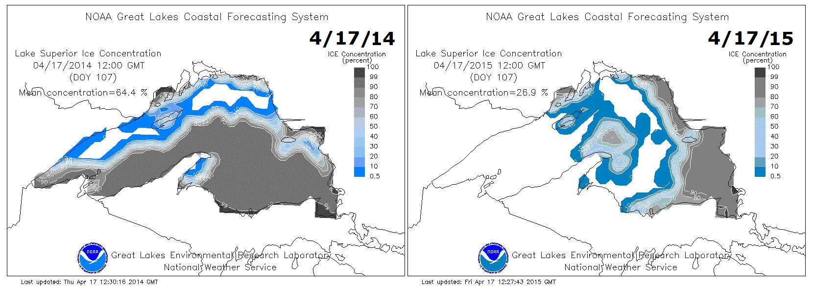
Lake ice 2015 compared to 2014.
Spring 2014
-
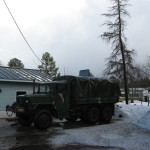
- Snow banks next to the m35a2 on April 10th 2014
-
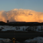
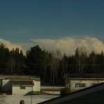
- Convective sleet clouds over Empire and Tilden mines on April 10th, 2014.
-
- 6 inches of snow left on April 21st, 2014 with convective clouds in the background.
-
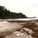
- Ice at Presque Isle, Marquette MI on April 27th 2014.
-
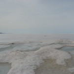
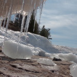
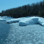
- Ice buildup on beach below Sugarloaf Mountain on April 27th, 2014.
-
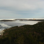
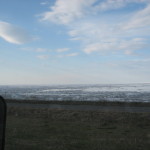
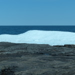
- View of ice on Lake Superior from Sugarloaf Mountain on April 27th, 2014.
-
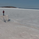
- Lake Superior ice cover on MAY 17th 2014!
Spring 2015
-
- Ice at Presque Isle April 5th 2015.
-
- Icicles at Presque Isle, April 5th 2015.
-
- Ice mountains and volcanos at Presque Isle, April 5th 2015.
-
- Open water north of Presque Isle, April 5th 2015.
-
- Ice buildup at Presque Isle Black Rocks, April 5th 2015.
-
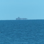
- Granite Island mirage north of Presque Isle, April 5th 2015.
-
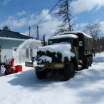
- My dad snowblowing 11 inches of wet snow on April 10th, 2015.
-
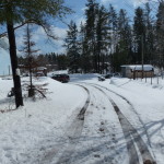
- Snow along driveway on April 10th, 2015.
-
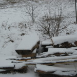
- 3 inches of snow on April 22nd 2015
-
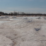
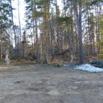
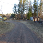
- On April 26th 2015, most snow was gone except for a few snowbanks.
-
- On April 26th 2015, most snow was gone except for a few snow banks
How has Spring matched our winter forecast so far?
Forecast below:
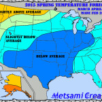
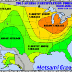
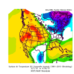
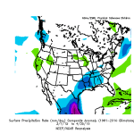
What actually happened as of April 25th
**Note** This data was the most up to date I could find. Precipitation is in millimeters and temperature in kelvin. Thankfully, the weather pattern has proved less cold that thought. Precipitation patterns were also different.
-
- Temperature anomaly this Spring. 1 kelvin equals 1.8F
-
- Precipitation rate this Spring
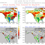
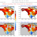
CFSv2 Outlook for May
This model has a warm bias, but it is forecasting warmer than normal temperatures with precipitation near normal to slightly above. I think we will have drier weather this May than the model forecasts. Model data has backed off on the extreme cold for early May and now shows significant warming, which seems probable given current conditions.
-
- May temperature forecast from CFSv2
-
- May precipitation forecast from CFSv2